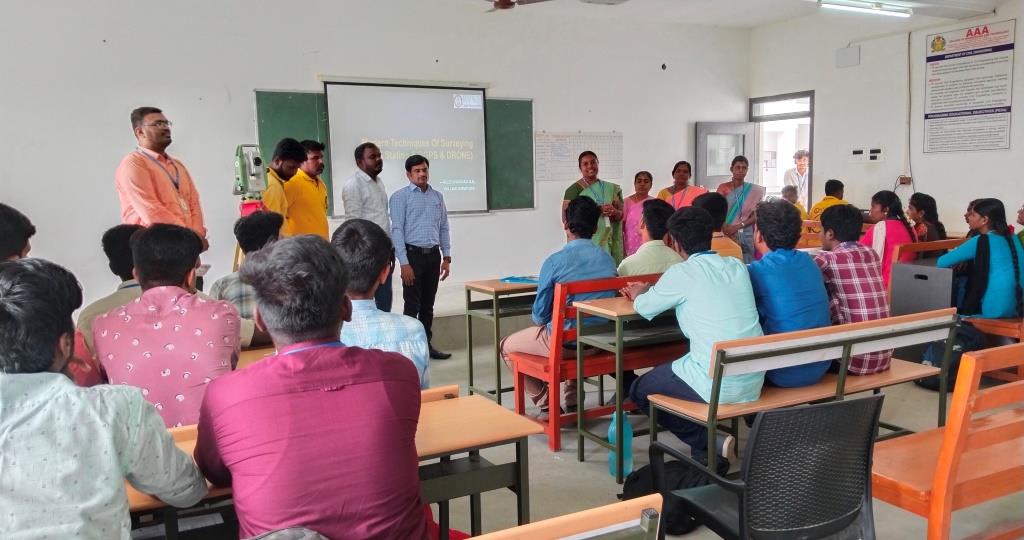
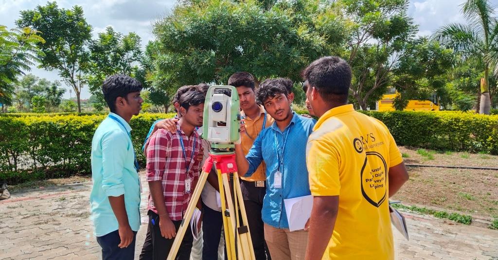
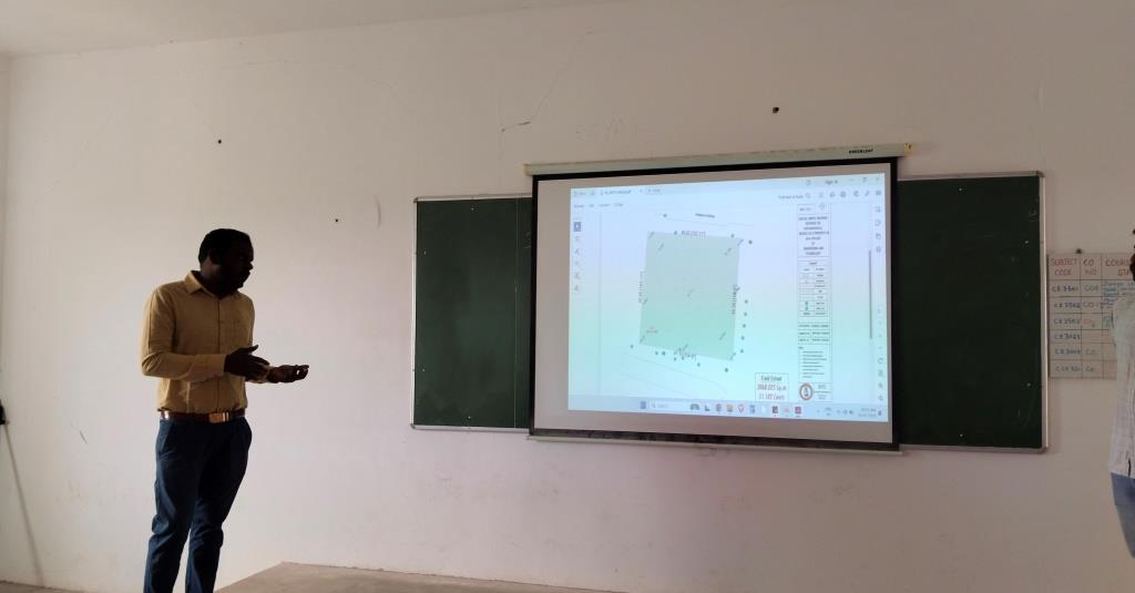
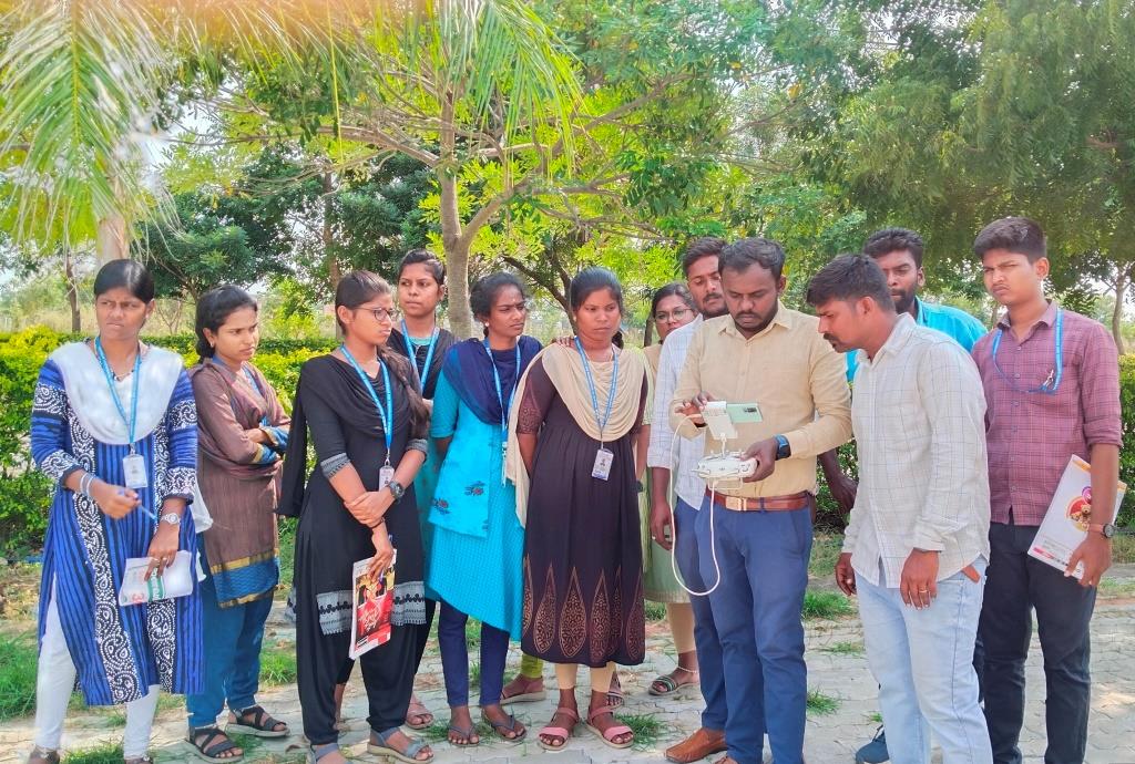
The Department of Civil Engineering organized a certificate course on ‘Modern Techniques of Surveying’ from 01/02/2024 to 05/02/2024 in the Surveying Laboratory. Dr. S. Krishnapriya, HoD/CE inaugurated the Certificate course and addressed the students about importance of Modern Techniques of surveying projects. Mr.K.Kaleeshwaran, Managing Partners, RVS Land Surveyors was the resource person for the course. This certificate course included hands on practices of Total Station, Differential Global Positioning System and Drone surveying. A Total Station course offers a thorough understanding of total station surveying instruments, covering electronic distance measurement (EDM) and theodolite functions. Participants acquire hands-on skills in precise angle and distance measurements, data collection, and spatial analysis, crucial for accurate mapping and construction projects.
A DGPS course provides a comprehensive overview of Differential Global Positioning System technology, emphasizing real-time corrections to enhance GPS accuracy. Participants gain practical insights into utilizing DGPS for precise navigation, mapping, and surveying applications across diverse fields, improving the efficiency and reliability of location-based data collection.
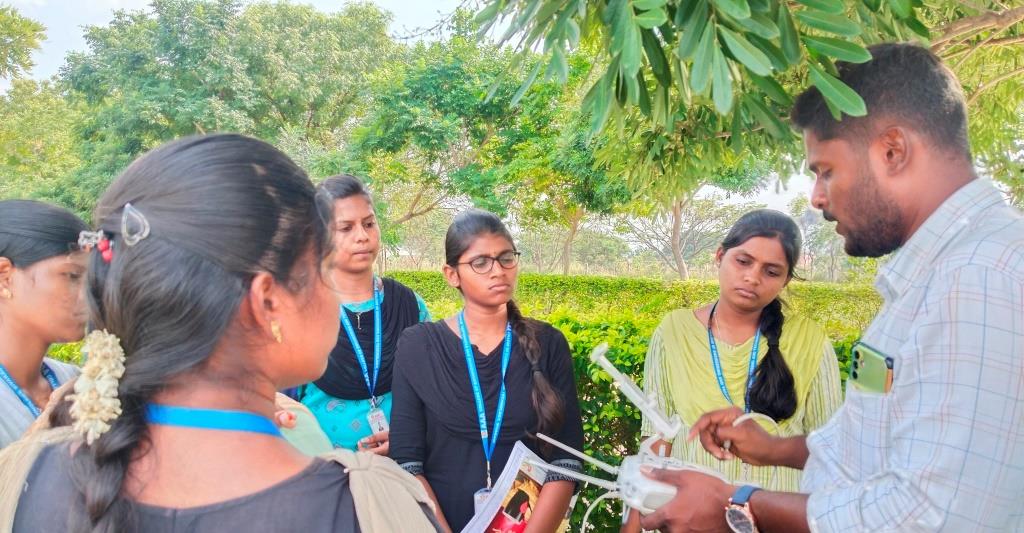
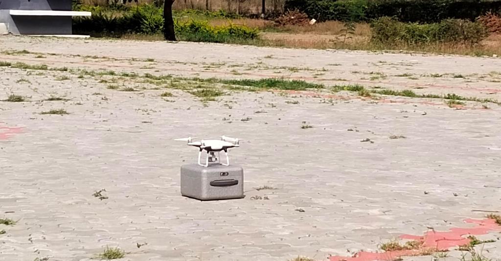
A Drone Surveying course provides comprehensive training on leveraging unmanned aerial vehicles (UAVs) for precise surveying applications. Participants learn drone flight operations, data acquisition techniques, and post-processing methods, enabling them to utilize aerial imagery effectively for mapping, terrain modeling, and survey analysis. Thirty Students from III Year and seven students from IV year B.E. Civil Engineering Department attended the course.
The “Modern Techniques of Surveying” five-day course offers a condensed yet comprehensive exploration of cutting-edge surveying methodologies. Participants delve into advanced technologies such as Total Stations, DGPS, and Drone Surveying, gaining practical insights into their integration for precise data collection, mapping, and spatial analysis in contemporary surveying applications. The course focuses on hands-on training, enabling participants to adeptly apply these modern techniques to enhance accuracy and efficiency in diverse surveying projects.
